Hello — we are Tectoni · Applied Earth Sciences

We make
it happen.

We read the ground, prove the materials, and de-risk the build. From dam foundations on the Nile to transmission lines across the Great Lakes, our crews turn Africa's toughest sites into certainty you can build on.

16+years of experience
30,000+ mdrilled since 2009
450+major projects
7countries · work permits

About Tectoni

“We make it happen.

Our company slogan — and our operating standard

Our Mission

Delivering end-to-end solutions for our clients' most complex, mission-critical infrastructure projects — projects that advance everyday life at scale — while setting new heights for safety excellence, schedule predictability, and operational precision, leveraging the full strength of Tectoni's Applied Earth Sciences competencies.

Our Vision

To be the leader in all areas of Applied Earth Sciences — and beyond — in Africa.

Our Values

We are guided by our commitment to integrity, collaboration, accountability, learning, and excellence in our dealings with each other and with those we support and serve.

The ground is not always as stable as it looks — knowing exactly what lies beneath is where every safe build begins.

What we do

Everything we do is organised into six mission areas. Five carry our core Applied Earth Sciences competencies; the sixth turns that science into finished infrastructure — wherever a project needs the ground understood, the water managed, or the risk quantified.

Applied Earth Sciences · across the Great Lakes

From the highlands
to the lakebed.

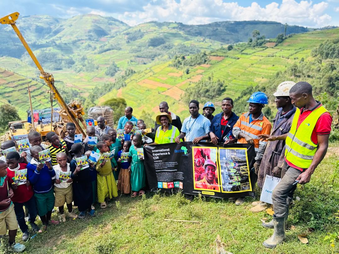
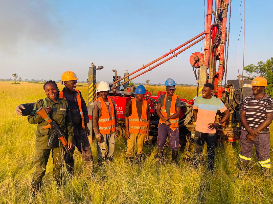
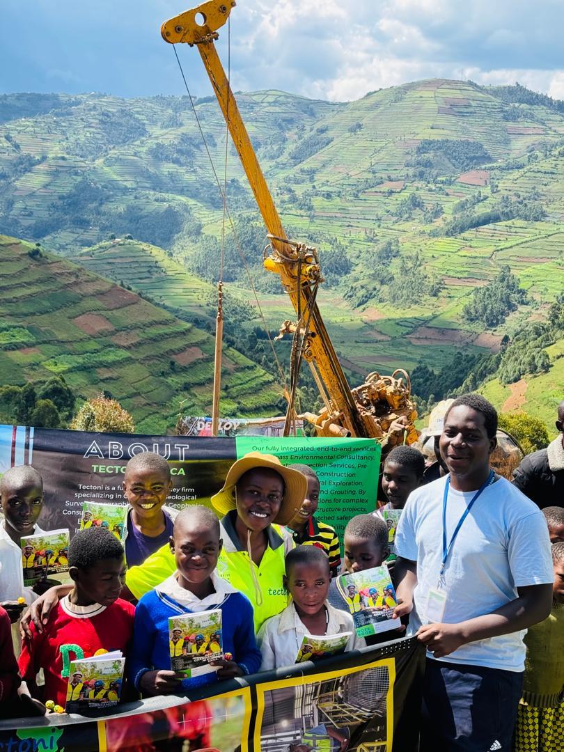
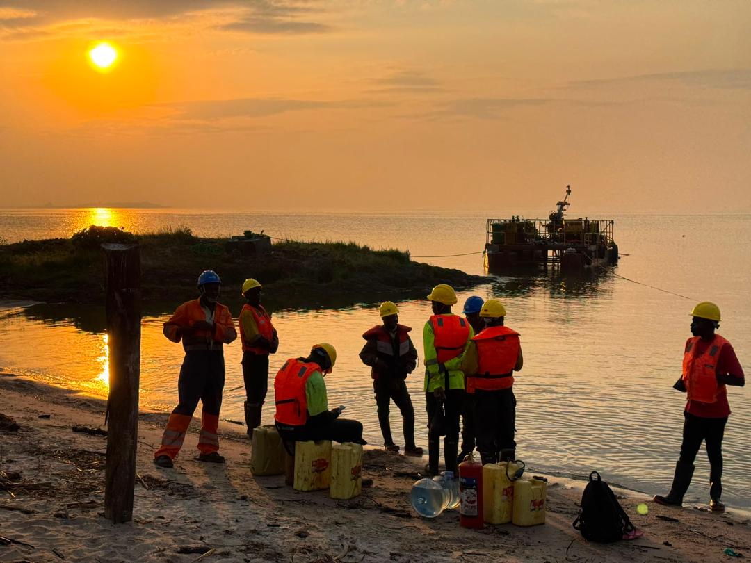
Wherever the ground must be understood, the water managed, or the risk quantified — Tectonians are there, on land, in swamps and over open water.

On site · 7 countries

How Tectoni is led

Our leadership

A lean, disciplined Executive Leadership Team, built on one operating doctrine: authority follows competence, departments cover each other rather than compete, and safety and ethics answer to no one they might have to overrule.

Level 01 · Ownership

Shareholders

Own the company and provide ultimate conduct oversight through the Annual General Meeting. They set the mandate; they do not run operations.

Level 02 · Governance

Board of Directors

Holds delegated authority from the shareholders. Sets strategy and risk appetite, appoints the General Manager, and oversees ethics, audit and safety through dedicated committees.

Level 03 · Command

General Manager

Tectoni's most senior executive, accountable to the Board for the whole company. Owns strategy and its execution, the operating doctrine, the numbers, and the standard. Chairs the ELT.

Level 04 · Delivery

The Tectonians

The Executive Leadership Team's six functional seats — and below them, the crews, engineers, scientists and support staff who do the work.

ShareholdersConduct oversight via the AGM
Board of DirectorsAudit & Risk · Ethics committees
General ManagerMost senior executive · heads the ELT · owns the doctrine, the numbers, the standard
Seat 01 · Delivery

Operations Manager

Field delivery, readiness, equipment and logistics. Owns the movement — mobilising crews and bringing missions home safely and on schedule.

Seat 02 · Method & Standard

Technical Manager

The single technical authority across all six mission areas: engineering method, interpretation, data integrity and technical innovation.

Seat 03 · Assurance

QHSE & Compliance Manager

Quality, health, safety, environment and compliance as one function — ISO 9001, ISO 45001 and the Code, with stop-work authority.

↑ Independent line to the Board
Seat 04 · Growth

Commercial & BD Manager

Winning and keeping clients: the pipeline, tenders, pricing discipline and the beachhead strategy. Business development as a core mission.

Seat 05 · Stewardship

Finance & Admin Manager

The money, the systems and the back office: financial control, procurement, IT, contracts and the unit economics that keep bids honest.

Seat 06 · People

People & Culture Manager

The Tectonians — recruitment, verified competence, training, wellbeing and the culture that carries our standard.

Independent escalation. Solid lines are reporting lines. The QHSE & Compliance Manager reports to the General Manager for day-to-day matters, but holds a direct, unfiltered line to the Board's Audit, Risk & Ethics committees for any safety or conduct concern — so that safety and ethics can never be silenced by the operation they oversee. That dotted line is deliberate, and it is never to be closed.

Cover & move

Six seats, one fight, no silos. Each seat's first question is not “how do I optimise my step?” but “how do I set up the next person in the chain to succeed?” Departments do not compete; they cover each other toward the mission.

The weekly command review

The team turns on a fixed cadence, chaired by the General Manager. Nobody arrives with excuses; everyone arrives with progress, data and honest answers — which is what makes urgency and accountability real rather than decorative.

One deliberate independence

Everything in the ELT flows to the General Manager, with one designed exception: QHSE & Compliance can go straight to the Board on any safety or conduct matter. That single line keeps the whole structure honest under pressure.

Service portfolio

Our six mission areas

Africa's natural world is changing at the very moment that human demand on its land, water, energy, and infrastructure is accelerating. As an Applied Earth Sciences company, Tectoni exists at that intersection — preparing the decision-making bases that shape how the Continent builds, and deepening the understanding of the ground beneath it.

Everything we do is organised into six mission areas — our business fields. Five carry our core Applied Earth Sciences competencies; the sixth, Specialised Civil & Marine Works, houses the hands-on construction, maintenance, and installation capabilities that turn our science into finished infrastructure. Behind every mission area stand our people — the Tectonians — working across Uganda, Tanzania, Rwanda, Burundi, Kenya, the Democratic Republic of the Congo, and Ethiopia.

MISSION AREA 01

Core Science Systems

Tectoni's primary mapping and geospatial division — the foundation on which every other mission area builds. We deliver topographic and geologic mapping to continental standards, coordinate geospatial data across borders and disciplines, and operate remote-sensing platforms from satellite imagery down to our own drone fleet. The products and data we generate make it possible to understand, monitor, and detect the changes affecting Africa's natural and agricultural resources, its economy, and public safety and security.

What we deliver

Drone flights + Photogrammetry: Aerial surveys, terrestrial and underwater surveys (including our in-house divemasters), and photogrammetric terrain and object models.

Field surveys: Digital terrain models, GNSS/GPS surveys, 360° imagery, volume and area calculations, and displacement analyses of landslides and rock outcrops.

GIS + Geoinformatics: Geodata analysis, spatial databases, WebGIS, mobile GIS applications, and custom software development.

3D modelling + BIM: Geological 3D layer models, subsurface modelling, IFC data handling, Geo-BIM coordination, and publication in 3D web-viewers.

Geomonitoring: Data portals and monitoring dashboards that keep clients connected to their sites in near real time.

MISSION AREA 02

Ecosystems

Science that directly protects the health, safety, and prosperity of the African people. We provide trusted, timely, and impartial environmental information to help resolve the Continent's hardest land-management and conservation questions — on public lands, at industrial and contaminated sites, and in the communities that depend on both.

What we deliver

Environmental impact assessment: Full environmental impact assessments (EIA) for roads, mines, landfills, industrial facilities, power lines, and other major infrastructure.

Contaminated sites: Historical, technical, and detailed investigation of polluted sites; professional assessment, handling, disposal, and remediation of contaminated soil and excavated material; proof of remediation and disposal.

Soil protection: Soil mapping, soil protection concepts, recultivation planning, and pedological construction supervision.

Monitoring + supervision: Environmental, groundwater, and pollutant monitoring throughout the construction cycle, with dedicated environmental construction supervision.

Spatial planning: Spatial planning support — from preliminary assessments to land-use plans — that translates environmental science into responsible development.

MISSION AREA 03

Geology, Energy & Minerals

We lead geologic mapping and provide impartial scientific information on the Continent's geologic resources and their supply chains — from the critical minerals that power modern economies to the construction ground beneath every dam, port, and pipeline. Our work spans site development and geotechnical engineering, resource exploration and assessment, and the full life cycle of landfill and geothermal projects.

What we deliver

Engineering geology: Geological and geomorphological mapping, rock-mass classification, tunnel geology, rockface stabilisation, and geological 3D models.

Geotechnics + site development: Foundation and excavation-pit design, stability calculations, dam-construction conception, construction-ground modelling, and geotechnical construction supervision — the backbone of safe, cost-efficient site development.

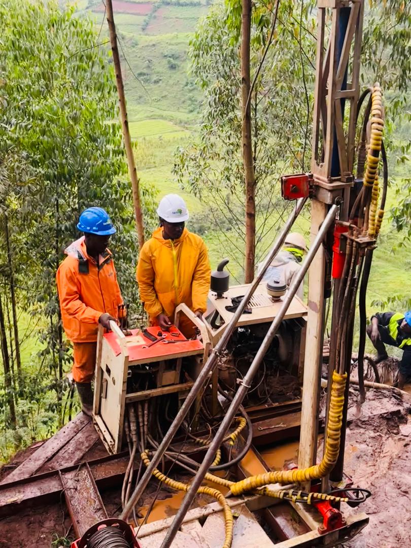
Ground investigation + geophysics: Core drilling, SPT/CPT/DPL probing, test pitting, seismic refraction tomography (SRT), electrical resistivity tomography (ERT), and full laboratory testing of soils and rock.

Raw materials: Prospection, site evaluation, feasibility studies, extraction planning and supervision, and forward-looking recultivation for gravel, sand, limestone, clay, and other mineral raw materials.

Landfills: Landfill projects from site evaluation and permitting through operation, surveillance, leachate monitoring, and recultivation.

Geothermal energy: Feasibility testing, borehole heat-exchanger design and simulation, Thermal Response Tests (TRT/ETRT), and hydrogeological supervision of geothermal wells and well fields.

Selected references
  • Geotechnical and geophysical investigations for the Arua/Enyau Water Dam, Uganda — Ministry of Water and Environment / Fichtner GmbH & Co. KG
  • Kabuyanda Earth Dam geotechnical investigation, Isingiro District, Uganda — Ministry of Water and Environment / Inyatsi Construction Ltd
  • Swamp geotechnical investigations for the new Kampala Port at Bukasa — Ministry of Works and Transport / GAUFF Engineering
  • ERT and SRT geophysical investigations, Migina Dyke Road, Bugesera District, Rwanda — SERING Ingegneria Srl
  • Geotechnical investigations, ERT, and soil chemistry testing, Southwestern Cluster Water & Sanitation Project (Masaka), Uganda — NWSC / SOGEA-SATOM
  • Site investigations for the Karuma, Ayago, and Isimba hydropower projects, Uganda — Sinohydro, JICA Study Team, CWE
MISSION AREA 04

Natural Hazards

Every year, natural hazards across Africa threaten lives and livelihoods and cause damage running into billions of dollars. Floods, debris flows, landslides, rockfall, collapses, and earthquakes do not wait for preparedness to catch up. Working with a wide network of partners, Tectonians monitor, assess, and conduct targeted research on the full range of natural hazards — so that policymakers, infrastructure operators, and the public have the understanding they need to strengthen preparedness, response, and resilience.

What we deliver

Hazard + risk assessment: Risk analysis and quantification for floods, debris flows, landslides, rockfall, avalanches, and earthquakes, including hazard maps for local planning and seismic microzonation.

Process modelling: 2D and 3D modelling of floods, bed-load transport, debris flows, rockfall, and avalanches.

Protective measures: Design and construction management of rockface stabilisation, safety detonations, landslide and subsidence stabilisation, and protective structures.

Early warning + response: Alarm, early-warning, and monitoring concepts; incident response, documentation, and analysis; emergency planning.

Selected references
  • Slope stabilisation design and construction near the Bujagali hydropower facility, Uganda — Bujagali Energy Limited
MISSION AREA 05

Water Resources

Water information is fundamental to economic well-being, to the protection of life and property, and to the effective management of the Continent's water resources — a large share of Africa's drinking water comes from groundwater alone. Tectonians work with partners to monitor, assess, and deliver information on streamflow, groundwater, water quality, and water availability, and to confront the water dimension of climate change with customised, science-based solutions.

What we deliver

Hydrogeology + groundwater: Groundwater analysis, monitoring, modelling, and protection-zone designation; well drilling and pump tests; infiltration testing and tracer tests; managed aquifer recharge support.

Construction dewatering: Excavation-pit drainage, retention of meteoric water, and dimensioning of infiltration systems.

Climate: Local and regional climate assessments and studies — temperature, precipitation, irradiation, and wind — including drought expertise and studies on climate impacts on groundwater.

Water quality + measurement: Groundwater-level, conductivity, pH, redox, oxygen, temperature, and turbidity surveillance with modern datalogging.

Selected references
  • Piezometer installation for groundwater pressure monitoring, Isimba Hydropower Dam, Uganda — CWE / UEGCL
  • Geotechnical investigation (DPL) for the Pilot Managed Aquifer Recharge site, Mount Elgon Transboundary Programme, Bulambuli District, Uganda — UNDP / Novelty Consult
  • pH, acid, and soil-resistivity testing for the Southwestern Cluster water transmission network, Masaka, Uganda — NWSC / SOGEA-SATOM
MISSION AREA 06

Specialised Civil & Marine Works

Science tells you what to build; someone still has to build it. This is the division where Tectonians put on harnesses, wetsuits, and welding masks. It bundles the technical construction, installation, and maintenance services that complete our end-to-end offer — in-water marine works, dam and powerhouse maintenance, industrial surface protection, and power transmission line construction — all executed under site-specific Risk Assessment and Method Statements (RAMS) and a strict zero-harm safety culture.

What we deliver

Marine + in-water works: Assembly, anchoring, tensioning, and commissioning of floating debris barrier systems; professional diving operations for underwater inspection and repair.

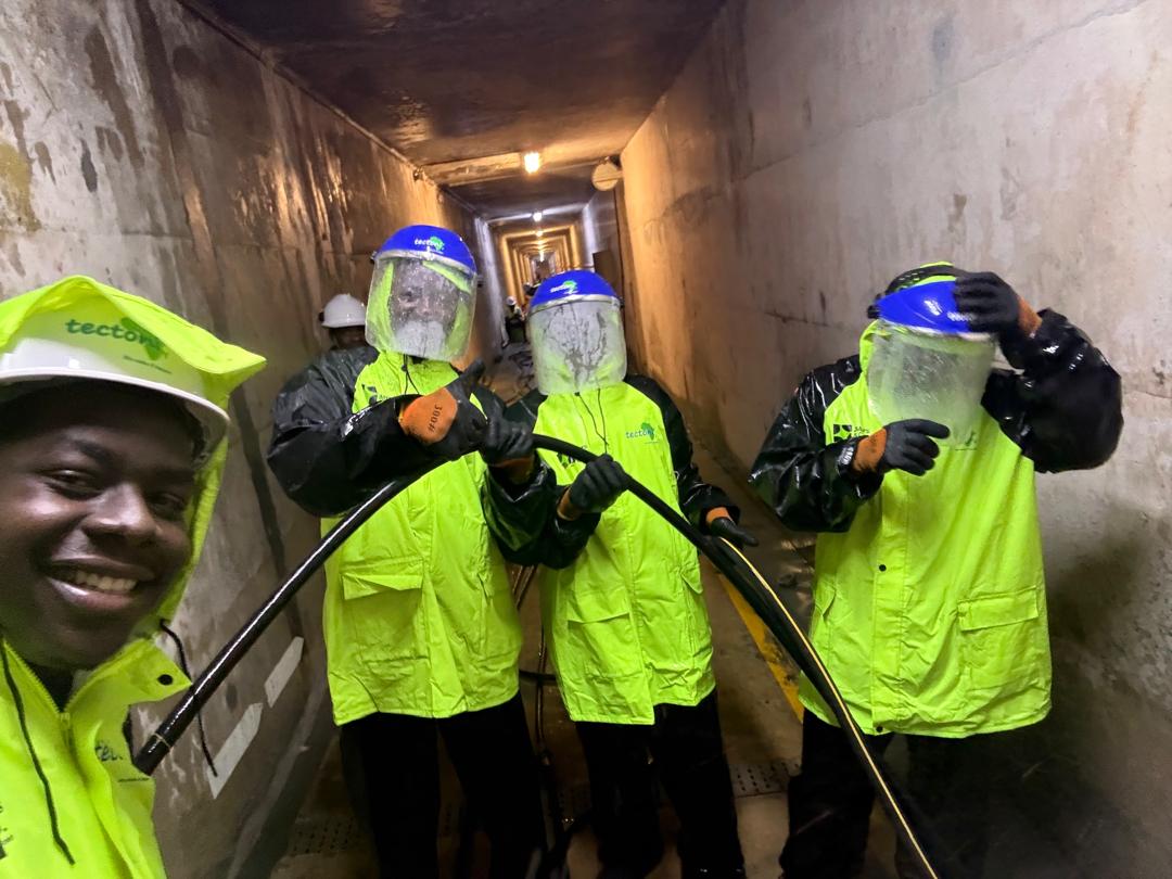
Dam + powerhouse maintenance: High-pressure jetting of relief drains, chemical and cement grouting, remedial concrete works, and long-term monitoring of dam civil structures.

Industrial coatings: Surface preparation and multi-stage epoxy coating of powerhouse floors, control buildings, and steel structures, with DFT and environmental quality control.

Transmission lines: Foundation works, tower erection, and conductor/OPGW stringing for HV/MV lines, delivered to client-approved QA/QC and EHS programmes.

Structural preservation + NDT: Non-destructive testing (impulse radar, ultrasonic pulse-echo, impact-echo, potential field measurement, rebound hammer), structural condition appraisal, crack and vibration monitoring, and preservation of evidence.

Selected references
  • Floating debris barrier (Tuff Boom) installation and commissioning, Bujagali HPP, Jinja, Uganda — Bujagali Energy Limited
  • Relief drain high-pressure cleaning and flow verification, Bujagali HPP, Uganda — Bujagali Energy Limited
  • Surface preparation and industrial coating of the powerhouse, control building, and workshop, Bujagali HPP, Uganda — Bujagali Energy Limited
  • Foundation works, tower erection, and stringing for HV/MV lines of the JIJI and MULEMBWE hydroelectric developments, Burundi — REGIDESO / KEC International Ltd
  • Intake roof remedial works with specialised grouting and diving operations, Kiira Power Station, Jinja, Uganda — Eskom Uganda Ltd

Working with Tectoni

Our mission is to deliver end-to-end solutions for our clients' most complex, mission-critical infrastructure projects — advancing everyday life at scale while setting new heights for safety excellence, schedule predictability, and operational precision.

Our vision

To be the leader in all areas of Applied Earth Sciences — and beyond — in Africa, guided by integrity, collaboration, accountability, learning, and excellence.

Selected references

Proven in the field

Nine stories from the field — dams protected, ports founded, lines energised, pipelines grounded in fact. Proof, not promises.

Hydropower · Marine works

Bujagali HPP — Floating Debris Barrier Installation

Technical assembly, anchoring engineering, and commissioning of a Tuff Boom system protecting the powerhouse intake and siphon spillway on the River Nile — delivered under site-specific RAMS with zero harm.

Client — Bujagali Energy Limited (BEL)
Dam safety · Maintenance

Bujagali HPP — Relief Drain Restoration

High-pressure jetting of dam relief drains with pre- and post-cleaning flow verification, restoring seepage management to design efficiency without compromising internal structures.

Client — Bujagali Energy Limited (BEL)
Instrumentation · Monitoring

Isimba Dam — Precision Piezometer Installation

21 m rotary-drilled borehole with stage-grouted, testable piezometer system for long-term groundwater pressure monitoring under UEGCL's operational efficiency programme.

Client — CWE · Under UEGCL
Dam feasibility · Geophysics

Arua / Enyau Water Dam Investigations

5 km² geological mapping, core drilling with SPT, Lugeon and percolation testing, televiewer scanning, and SRT to 40 m depth — full data report to Eurocode 7 for the feasibility design.

Client — Ministry of Water & Environment · Fichtner
Water infrastructure

Masaka Southwestern Cluster — Pipeline GI & ERT

222 m of core drilling, 216 SPTs, 189 undisturbed samples, ERT at 15 facility points, and full laboratory suite for the transmission main, pipe bridge, and 14,000 m³/d WTP at Bukakata.

Client — NWSC · SOGEA-SATOM Uganda
Earth dam · Irrigation

Kabuyanda Earth Dam Investigation

Multi-disciplinary campaign across dam axis, borrow areas, and spillway: core drilling, seismic refraction, Lugeon and falling-head testing, and a full factual geotechnical report.

Client — MWE · Inyatsi Construction
Ports · Over-water GI

New Kampala Port at Bukasa

Geotechnical investigations in swamp terrain for reclamation works — boreholes, in-situ testing, and rock/soil mechanics laboratory programme for the port development.

Client — MoWT · GAUFF · Coil & Coppieters JV
Power transmission · Burundi

JIJI & MULEMBWE HV/MV Lines

Foundation works, erection of 21 towers (≈179 MT), and stringing of 132 kV and 220 kV single-circuit lines — full crews, equipment, and EHS compliance across Burundi.

Client — REGIDESO · KEC International
Geophysics · Rwanda

Migina Dyke Road — ERT & SRT Surveys

2D/3D electrical resistivity tomography and 900 m of seismic refraction with MASW, delivering shear, Young's, and compressibility moduli for the detailed road design.

Client — SERING Ingegneria, Italy

Trusted by

Owners, EPCs & consultants

Ethics & governance

Solid ground for every decision

Our instruments measure the earth. This Code measures us. Our work spans the continent — different places, different pressures, different temptations. Our answer to all of them is the same: we hold one standard, the highest one, everywhere we work.

Safety

Everyone goes home safe, every day. Safety is not a department or a slogan; it is the first design criterion of every plan we make. Anyone, regardless of rank, has the authority and the duty to stop unsafe work.

Integrity

We are honest and forthright in all our dealings. We keep our promises, and we bring back the truth from the field even when it is inconvenient. Bad news does not improve with age.

Diversity

We embrace diversity of background, experience and perspective, and treat every colleague, client and community member with dignity and respect. A workforce that reflects the Continent we serve is a stronger one.

Sustainability

We are stewards of the very earth we study. We minimise harm, manage resources responsibly, and leave every site — and every relationship — in a state we would be proud to sign our name to.

Excellence

We perform the best we can today and embrace change so we perform better tomorrow. We measure ourselves by standards met and promises kept — not by effort spent.

What the Code covers

  • 01We speak openly. Raising concerns, and zero tolerance for retaliation.
  • 02We value our people. Fair employment, HSSE, and a workplace free of harassment.
  • 03We act with personal integrity. Bribery, gifts, conflicts of interest, fraud.
  • 04We operate with integrity. Accurate records, fair competition, data protection.
  • 05When government is our client. A stricter standard for public work.
  • 06We are committed to excellence. Right-first-time delivery and quality.
  • 07We protect our assets. Confidential information, IT and data security.
  • 08We are committed to society. Human rights, the environment, communities.
  • 09We care for our communication. Media, social media and our brand.

The Tectoni decision test

When you face a decision the Code does not explicitly cover, test it from several directions — and see whether the readings agree.

  • Is it legal? Have I checked with Legal where there is any doubt?
  • Is it consistent with our policies?
  • Does it honour our values? Safety, Integrity, Diversity, Sustainability, Excellence.
  • Am I involving the right people?
  • Is it fair to everyone affected?
  • Is it free of pressure? Am I deciding without improper pressure?
  • The family test. How would I feel telling my family about this?
  • The headline test. How would I feel reading about my choice in a newspaper?

Version 2.0 · Controlled document · © Tectoni Africa Ltd

Read the full Code of Business Ethics & Conduct

Available to all Tectonians, and to our clients, suppliers and partners. Where local laws or customs are less stringent than our values, our Code or our policies, we always apply the higher standard.

Speak openly — raise a concern in good faith and you are protected from retaliation, without exception. Contact info@tectoni.com.

Applied Earth Sciences 101

The field, explained

Whether you are a project owner, a student, or simply curious — here is a plain-language guide to what Applied Earth Sciences is, why it exists, the terms and standards involved, and how a newcomer can get started.

Why the field exists

Every dam, port, road, pipeline and power station is only as safe as the ground beneath it — and that ground is hidden, variable and rarely what it looks like from the surface. Applied Earth Sciences exists to make the invisible ground known before anyone commits money or lives to it.

Why it is necessary

Africa's demand for infrastructure is accelerating at the same moment its climate, water and hazards are shifting. Foundations fail on assumptions, not on data. Reading the ground first is what prevents collapses, cost overruns and disasters — and what lets projects stand up to floods, slopes and time.

Where Tectoni fits

We are the specialists who go and find out. On land, in swamps and over open water, we measure the subsurface, prove the materials, quantify the risk, and hand designers the verified numbers their work depends on — reported to international standards.

What is Applied Earth Sciences?

Applied Earth Sciences is the practical use of geology, soil and rock mechanics, geophysics, hydrogeology and environmental science to solve real-world engineering and land-management problems. Where pure earth science seeks to understand the planet, applied earth science puts that understanding to work — telling engineers what the ground will actually do so they can design foundations, manage water, and protect people and the environment.

Why does every major project need a ground investigation?

Because you cannot design a foundation for ground you have not measured. A ground investigation reveals what lies beneath the surface — soil and rock layers, their strength, the depth to bedrock, and where water sits and moves. Skipping it is the single most common cause of foundation failure, budget blow-outs and construction delays. A few weeks of investigation routinely saves months of remediation and, on hazardous sites, saves lives.

What is the difference between geology, geotechnical engineering and geophysics?

Geology describes what the ground is made of and how it formed. Geotechnical engineering takes that further and quantifies how soil and rock behave under load — strength, settlement, stability — so structures can be designed safely. Geophysics images the subsurface indirectly from the surface, using electrical, seismic or radar methods to map layers and features between and beyond boreholes. Most real projects use all three together.

What actually happens during a site investigation?

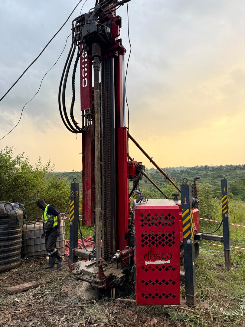
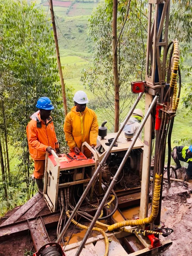
Typically four things. Drilling and sampling — boreholes recover soil and rock cores for logging and testing. In-situ testing — tests like the SPT or CPT measure ground strength directly in the hole. Geophysics — surface surveys (ERT, seismic) fill in the picture between boreholes. Laboratory testing — samples are tested for classification, strength, compaction and chemistry. The results are combined into a factual report and a ground model the designers build on.

What are the main standards this work follows?

Geotechnical design across the region is anchored to Eurocode 7 (BS EN 1997). Site investigation practice follows BS 5930; soil laboratory testing follows BS 1377 and various ASTM methods; sampling and groundwater measurement follow the ISO 22475/22476 series. Quality and safety management are certified to ISO 9001:2015 and ISO 45001:2018. Environmental work follows national regulations such as the EIA regulations administered by NEMA in Uganda. See the standards list below.

What does it mean to “de-risk the build”?

De-risking means removing unknowns before they become expensive or dangerous. By measuring the ground, proving the materials and quantifying natural hazards early, we convert guesses into numbers. Designers can then size foundations correctly, contractors can price with confidence, and lenders and regulators can approve faster — because the biggest source of surprise on a construction project, the ground, has been taken off the table.

How is investigation done over water or in swamps?

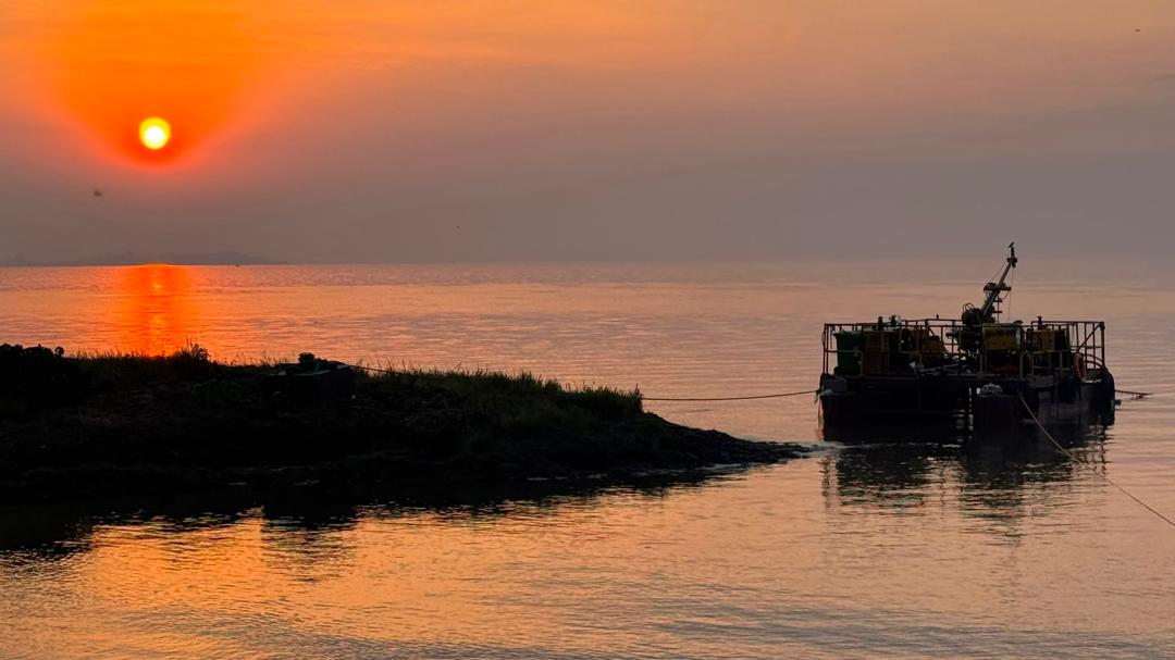
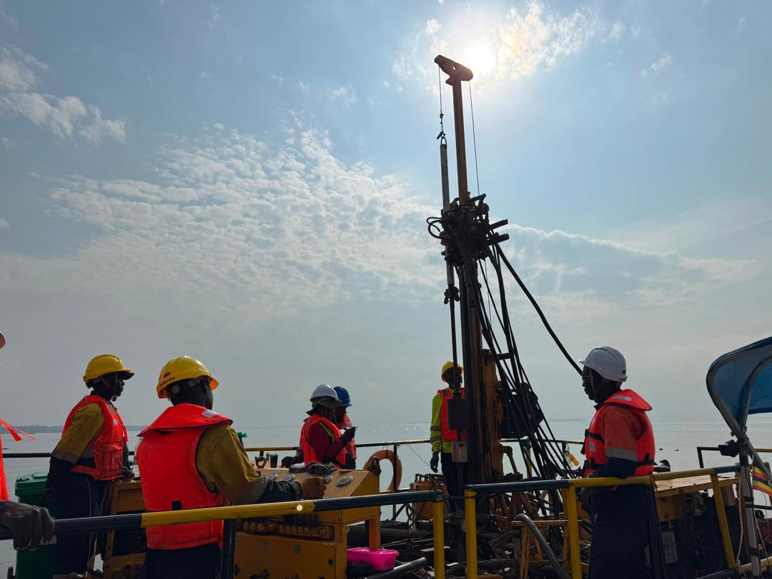
The same principles apply, but from floating platforms. Drill rigs are mounted on barges or pontoons, anchored and levelled over the survey point, and crews work in life vests under marine method statements. In-house divers handle underwater inspection and sampling. This is some of the most demanding work in the field — and it is where projects like ports, bridges and lake-crossing pipelines are won or lost.

I'm completely new to this — is it a good field to enter?

Yes. Applied Earth Sciences sits at the crossroads of geology, civil engineering, environmental science and data — so there is a path in for a wide range of backgrounds, from field technician to geologist, geophysicist, hydrogeologist or geotechnical engineer. It is hands-on, intellectually rich, and central to every piece of infrastructure a growing continent needs. The starter path below shows a sensible order to learn it.

Key terms, in plain language

Geotechnical engineering
The study of how soil and rock behave under load, used to design safe foundations, slopes and earthworks.
Geophysics
Imaging the subsurface from the surface using electrical, seismic, radar or magnetic methods — seeing what boreholes alone cannot.
Borehole & core drilling
Drilling into the ground to recover intact columns of soil and rock ("core") for logging and testing.
SPT — Standard Penetration Test
A hammer-driven in-hole test; the blow count ("N-value") indicates how dense or stiff the ground is.
CPT / CPTu — Cone Penetration Test
A cone pushed steadily into soft ground, recording resistance and pore pressure to profile the soil continuously.
ERT — Electrical Resistivity Tomography
A geophysical method that maps layers, weak zones and groundwater by how easily electricity flows through the ground.
SRT — Seismic Refraction Tomography
Uses the speed of sound waves through the ground to find depth to bedrock and rock quality.
MASW
Multichannel Analysis of Surface Waves — measures shear-wave velocity to assess ground stiffness and seismic response.
Bearing capacity
The maximum pressure the ground can safely carry before it fails — the number a foundation is sized against.
CBR — California Bearing Ratio
A strength index for road subgrades and pavements, guiding how thick a road layer must be.
Atterberg limits
Simple tests that describe how a clay behaves with water — its liquid and plastic limits — key to predicting swelling and settlement.
Piezometer
An instrument installed in the ground to monitor groundwater level and pore-water pressure over time.
Hydrogeology & aquifer
The study of groundwater; an aquifer is a water-bearing layer of soil or rock that can supply wells.
Lugeon test
A water-pressure test in rock that measures how permeable (leaky) the rock mass is — vital for dam foundations.
Proctor / compaction
A lab test that finds the moisture content at which a soil can be compacted to its greatest density.
NDT — Non-Destructive Testing
Inspecting concrete and structures for defects without cutting into them, using radar, ultrasound or impact-echo.
EIA — Environmental Impact Assessment
A structured study of a project's effects on the environment and communities, required before major works.
RAMS
Risk Assessment and Method Statement — the site-specific safety document that governs how a task is done.
Ground model
The combined interpretation of all data into a single, reliable picture of the subsurface for designers to use.

The standards that govern the work

Eurocode 7 — BS EN 1997

The primary framework for geotechnical design across the region — foundations, retaining structures and slopes.

BS 5930

Code of practice for ground investigations — how site investigations are planned, executed and reported.

BS 1377 & ASTM D-series

Methods of test for soils: classification, strength (triaxial), compaction (Proctor), CBR and chemistry.

ISO 22475 / 22476

International standards for sampling methods, groundwater measurement and field (in-situ) testing.

ISO 9001:2015

Quality management — the certified system behind traceable data and right-first-time deliverables.

ISO 45001:2018

Occupational health & safety management — the certified basis of our zero-harm site culture.

New to the field? A starter path

  1. Learn the ground. Begin with basic geology and soil mechanics — the materials and how they behave.
  2. Understand why we investigate. Read case studies of foundation failures; you'll never see construction the same way again.
  3. Get the core tests. Learn what SPT, CPT and CBR measure — and what their numbers mean in practice.
  4. Read a borehole log and a geotechnical report. This is the language the whole field speaks.
  5. Explore geophysics. See how ERT and seismic methods “see” underground without digging.
  6. Study the standards. Eurocode 7, BS 5930 and the ISO 9001/45001 systems that keep work reliable and safe.
  7. Get to the field. Shadow a crew or a rig — nothing on paper replaces watching the ground come up.
  8. Pick a specialism. Geotechnics, geophysics, hydrogeology, environment, or specialised marine works.

Join the team

Build your career on solid ground

We are guided by integrity, collaboration, accountability, learning, and excellence — in how we treat each other and those we serve. If that sounds like you, we want to hear from you.

Field Operations

Drillers, rig operators, and field crews running investigations on land, over water, and everywhere in between.

Geology & Engineering

Geologists and geotechnical engineers turning field data into the ground models projects are built on.

Geophysics

Specialists in SRT, ERT, MASW, and downhole methods imaging what no borehole can reach.

Laboratory

Technicians proving soils, aggregates, and concrete against specification — the numbers behind every report.

HSE & Quality

Officers who keep every site working to zero-harm standards and every deliverable to international ones.

Business Support

Administration, logistics, and finance professionals who keep crews mobilised across seven countries.

No open vacancy listed? We still welcome speculative applications — send your CV and a short note on where you would fit, and we will keep it on file for upcoming projects.

We make it happen

We read the ground.
We de-risk the build.

From dam foundations on the Nile to transmission lines across the Great Lakes, our crews turn Africa's toughest sites into certainty you can build on.

Live from the field · East & Central Africa

Let's talk

Discuss your next project

Email
info@tectoni.com
Phone
+256 39310240
WhatsApp
+256 726 148 145
LinkedIn
tectoni-africa-ltd
X (Twitter)
@_Tectoni
Office
Plot 251, Paulo Kavuma Road,
Lower Kauga, Mukono, Uganda
Hours
Mon–Fri, 10:00–18:00 EAT
Reg.
ID 80020002594997 · Est. 2020
(Geotech Solutions U Ltd since 2009)
Permits
Uganda · Tanzania · Rwanda · Burundi · Kenya · DR Congo · Ethiopia